[Recap] OpenStreetMap Workshop

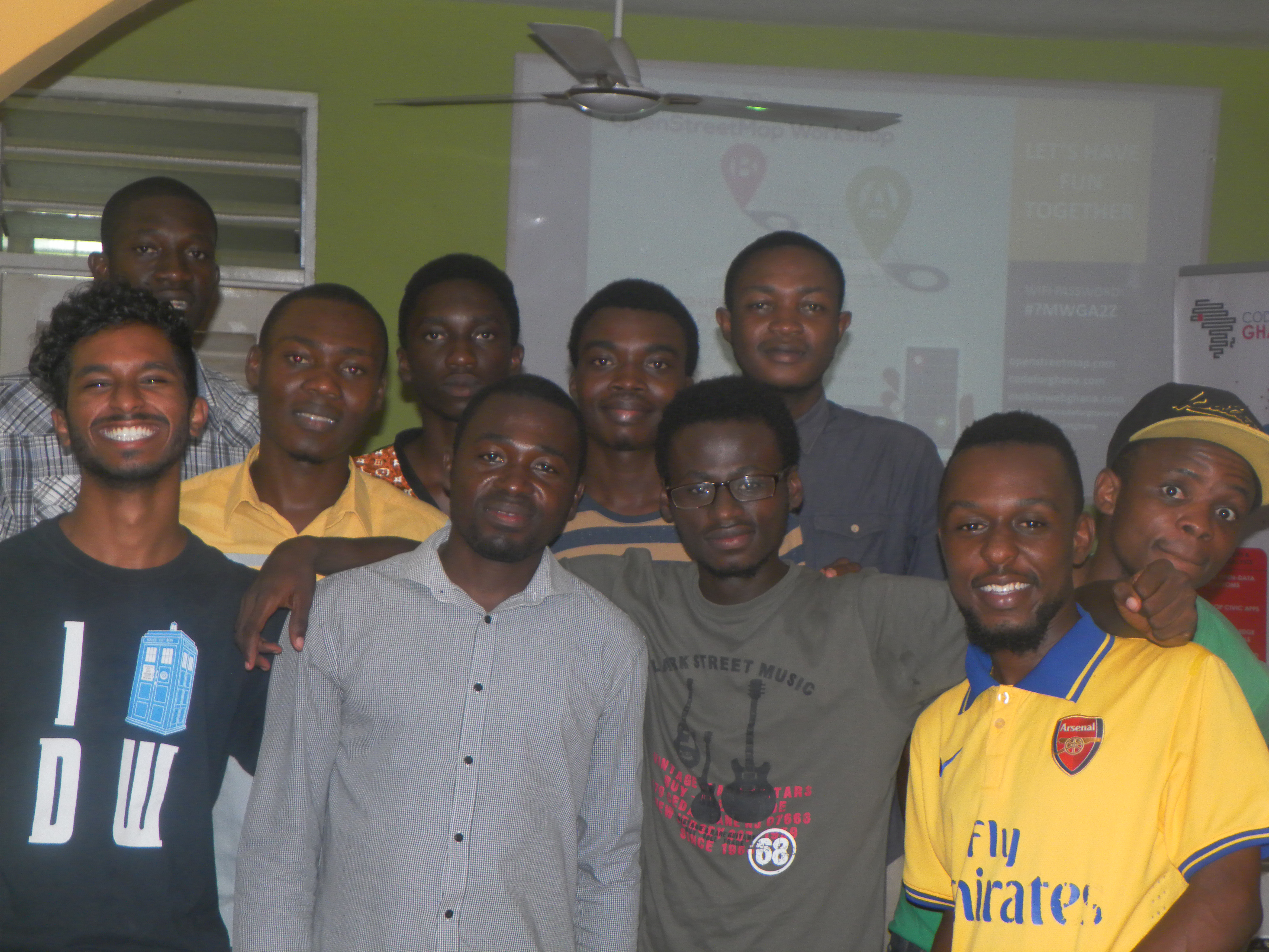
Over the weekend, Code for Ghana in collaboration with OpenStreetMap Ghana had a mapping workshop at the Mobile Web Ghana lab in Accra. The main purpose of the workshop was to introduce attendees to OpenStreetMap.
After a brief moment of introduction and interaction amongst attendees, the workshop began. We were privileged to have in our midst Sylvester Adjapong, a mapping-enthusiast who works for Amplify International, Ghana. He gave a succinct talk on what he has been doing so far in his bid to map some parts of the country. Sylvester also admonished the OpenStreetMap community to form partnerships to establish mapping clubs in various high schools in the country - starting with the ones in Accra. Since the OpenStreetMap platform is open to additions by anyone, more hands are needed to make it a more comprehensive platform with accurate map-data.
Right after Sylvester, Enock Seth Nyamador (a representative of the OpenStreetMap Ghana chapter) took us through the history of OpenStreetMap and its impact in the world. It has been in existence for just 10 years but has had a tremendous impact all over the world. He mentioned that it is nicknamed the ‘Wikipedia of maps’ because it affords users the rare opportunity of contributing to the map online just like Wikipedia does. Other users can pick up information of an already mapped out area and re-use if for various purposes. Or they can edit and update some already mapped out areas. Enock went on to tell attendees about the impact OpenStreetMap has had in various parts of the world.
OpenStreetMap is there to offer free access to digital maps and also offer users the opportunity to make contributions. The platform has proven very useful in the aftermaths of disasters. In some places where disaster struck, volunteers went online to map the area which helped in the implementation of projects to reconstruct the area. Examples of such events include the 2010 earthquake in Haiti and typhoon Haiyan in the Philippines in 2014. Volunteers immediately went online after these disasters and mapped out the areas, providing a free and comprehensible map of the areas that were hit by the disasters.
This is exactly what we did during the practical session of the workshop. Following the recent disaster that claimed over a hundred lives at the Kwame Nkrumah Circle, we decided to map the entire area. Enock put together the task for the day on the OSM Task Manager and allocated various portions to the attendees. To map on OpenStreetMap, one must have an account on the platform. Soon everybody present was mapping. The map is very easy to use and fills one with a sense of fulfilment just by realizing how this simple activity could go a long way to offer help to anyone who needs a digital map of the location.
The goal is to make people realize the need to have accessible digital maps and how useful they are to town and country planning (not only in the aftermath of a disaster). People need to be concerned about such things. At the end of the day, the participants were equipped with OpenStreetMapping skills to help them contribute to worldwide mapping data. Hopefully, we have made digital humanitarians out of each attendee.
